Mont Blanc (UK: /ˌmɒ̃ˈblɒ̃(k)/, US: /ˌmɒn(t)ˈblɑːŋk/[a]) is a mountain in the Alps, rising 4807.3 m (15771,9 ft)[3], above sea level, located right at the Franco-Italian border.[4] It is the highest mountain in Europe outside the Caucasus Mountains, the second-most prominent mountain in Europe (after Mount Elbrus in Russia), and the 11th most prominent mountain in the world.[5]
The mountain gives its name to its range, the Mont Blanc massif, which straddles parts of France, Italy, and Switzerland. Mont Blanc’s summit lies on the watershed line between the valleys of Ferret and Veny in Italy, and the valleys of Montjoie, and Arve in France. Ownership of the summit area has long been disputed between France and Italy.
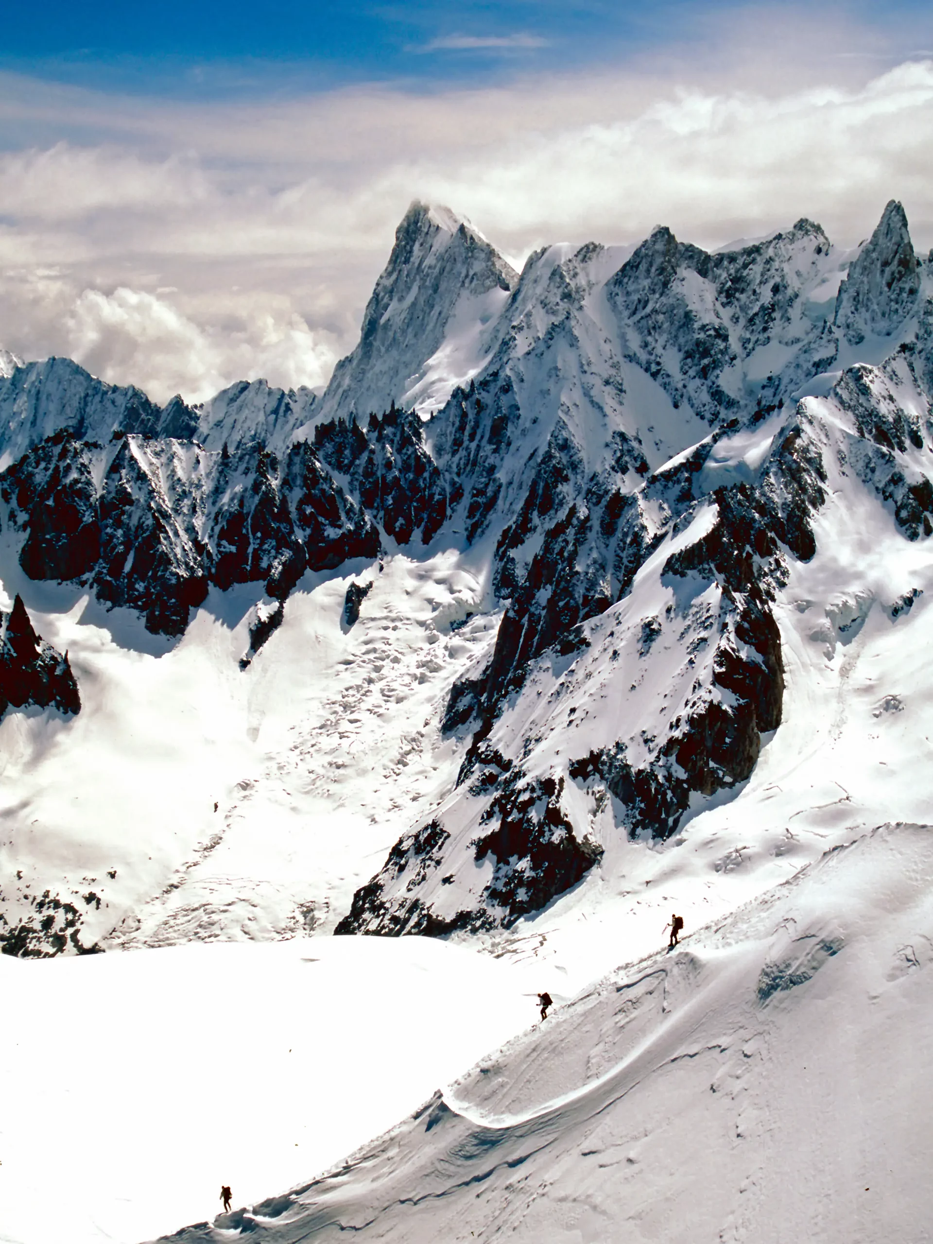
The Mont Blanc massif is popular for outdoor activities such as hiking, climbing, and trail running and winter sports such as skiing and snowboarding. The most popular climbing route to the summit of Mont Blanc is the Goûter Route, which typically takes two days.
The three towns and their communes which surround Mont Blanc are Courmayeur in Aosta Valley, Italy; and Saint-Gervais-les-Bains and Chamonix in Haute-Savoie, France. The latter town was the site of the first Winter Olympics. A cable car ascends and crosses the mountain range from Courmayeur to Chamonix through the Col du Géant. The 11.6 km (7+1⁄4 mi) Mont Blanc Tunnel, constructed between 1957 and 1965, runs beneath the mountain and is a major transalpine transport route.
Geology
Mont Blanc and adjacent mountains in the massif are predominantly formed from a large intrusion of granite (termed a batholith) which was forced up through a basement layer of gneiss and mica schists during the Variscan mountain-forming event of the late Palaeozoic period. The summit of Mont Blanc is located at the point of contact of these two rock types. To the southwest, the granite contact is of a more intrusive nature, whereas to the northeast it changes to being more tectonic. The granites are mostly very-coarse grained, ranging in type from microgranites to porphyroid granites. The massif is tilted in a north-westerly direction and was cut by near-vertical recurrent faults lying in a north–south direction during the Variscan orogeny. Further faulting with shear zones subsequently occurred during the later Alpine orogeny. Repeated tectonic phases have caused breakup of the rock in multiple directions and in overlapping planes. Finally, past and current glaciation caused significant sculpting of the landscape into its present-day form.[3]
The first systematic account of the minerals of the Mont Blanc area was published in 1873 by Venance Payot. His list, entitled “Statistique minéralogique des environs du Mt-Blanc”, catalogued 90 mineral types although it also included those present only as very small components of rocks.[6] If these are excluded, it is known today that at least 68 separate mineral species occur across the wider range of the Mont Blanc massif.[7][8][9][10]